Georeferencing the river as public space
Involving a participatory approach that engages various stakeholder groups, combining with crowdsourcing for broader understanding of the river and public space transformation with community.
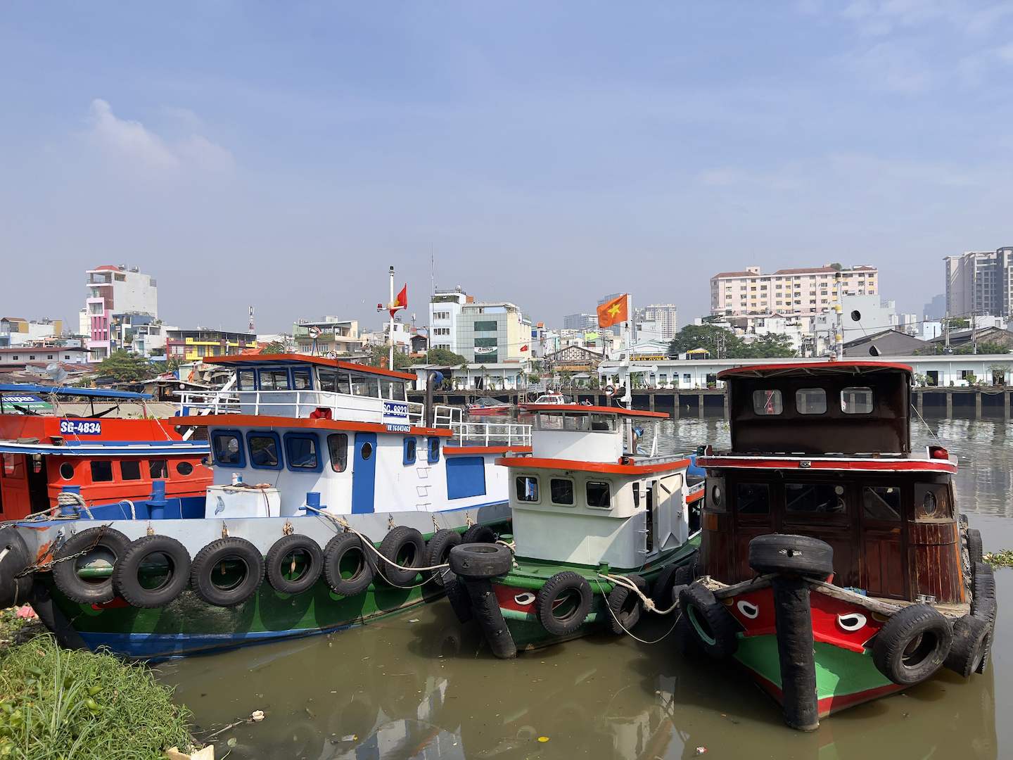
Social and ecological flow of the river
Mapping with the river hydrological regime and tidal pattern change with livelihood pattern, including a digital artist collaborative exhibition on the theme of flow.
Emotion mapping
Mapping living with the river ecology, including time/space repetition (e.g. placetimes of Haraway’s chthulucene) in the moment, the event and in daily life activities
Seasonal calendar of the river system
Adapting the CSIRO Australian Indigenous seasonal calendar mapping method that engages community participation and climate science to produce local maps of the disrupted river ecosystem and declining biodiversity.
Pedagogical tools
Student projects on future proposals for new design concepts for the river city taking into account local identities, connections to the river and new technology for storytelling and mapping. It includes instructional design, science communication and a service learning program.
Multi-modal mapping
Multi-modal mapping of the liminal spaces between the built environment, natural environment and the cultural use of space. It includes crowd sourced photographs and audio.